Here at Baron, we look forward to providing customers with GOES-R’s advanced capabilities to improve the observation and detection of weather phenomena significantly. GOES-R is a next-generation weather satellite that brings advanced resolution when viewing weather, along with several features, including faster coverage, enhanced tornado, hurricane detection, real-time mapping of lightning—the first operational lightning mapper ever flown in space—solar flare monitoring, and much more. It’s the most advanced weather satellite to date and is equipped with significant features to improve weather forecasting in the United States.
GOES-R will be the first of four satellites (R/S/T/U) extending the GOES satellite system through 2036. Upon successful launch and placement into geostationary orbit, GOES-R will be known as “GOES-16”. To see photos of the satellite, read the latest from Spaceflight Now.
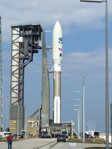
If all goes as planned, the GOES-R satellite will be launched on November 19, 2016, at 5:42 p.m. Eastern Time. As of the latest updates, the weather is expected to be favorable for the launch.
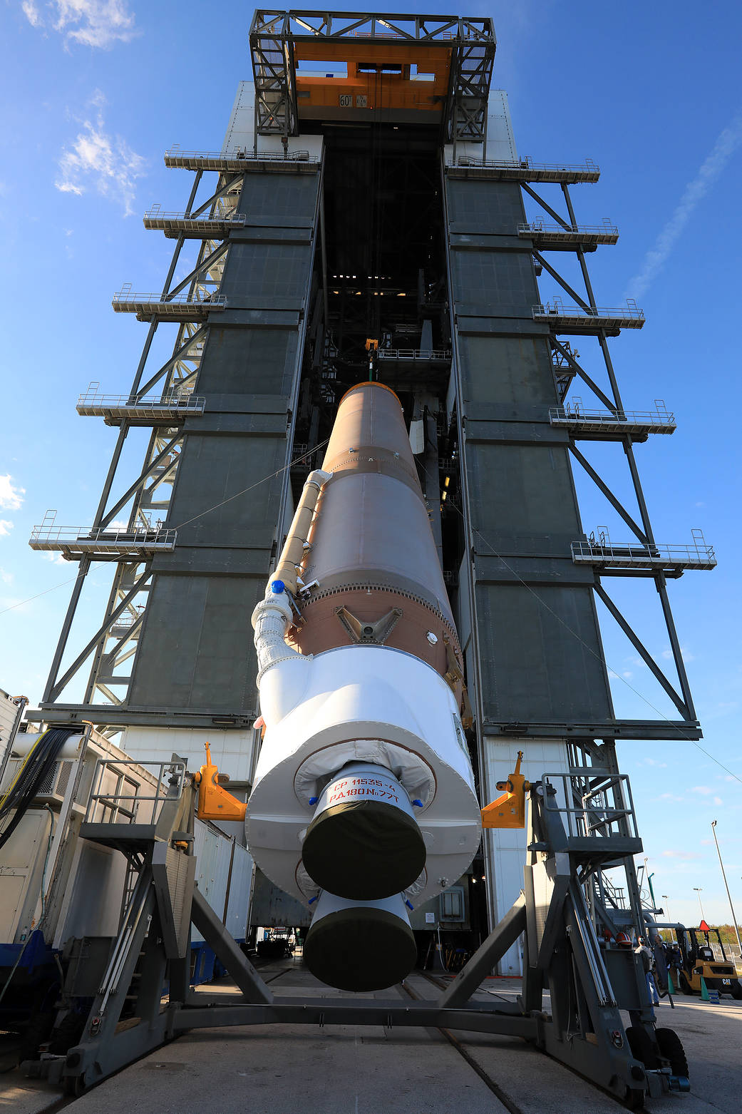
The first stage of the United Launch Alliance Atlas V is lifted to the vertical position at the Vertical Integration Facility at Space Launch Complex 41 at Cape Canaveral Air Force Station in Florida. The Geostationary Operational Environmental Satellite (GOES-R) will launch aboard the Atlas V rocket in November. GOES-R will be the first satellite in a series of next-generation NOAA GOES Satellites.
Data that will be available:
We plan to initially deploy Cloud and moisture imagery from the GOES-R ABI (Advanced Baseline Imager) and Lightning Detection and Alerting from the GLM (Geostationary Lightning Mapper).
ABI Cloud & Moisture imagery will be available from the satellite in early 2017. Both visible and infrared satellite data will be available, ranging from full-disk updates every 15 minutes and CONUS every 5 minutes to mesoscale regions every 30 seconds. The resolution will go from 2 km IR full-disk to as high as ½ km visible in the mesoscale areas. Cloud and moisture imagery includes digital maps of the observed land, water, and clouds.
Beginning in mid-2017, real-time lightning data from the GLM will enhance our lightning detection/alerting capabilities for the western hemisphere.
In the future, we will support additional GOES-R data products, including various value-added data fusion products that integrate GOES-R with other data sources, like dual-polarity weather radar.
Baron can also provide GOES-R information to customers through a robust, always-on internet connection. This will allow users to utilize and display data in whatever format they see fit.
“The GOES-R satellite is the greatest advancement in weather satellite technology in decades for use over the Western Hemisphere,” said Bob Dreisewerd, Executive Vice President and Chief Development Officer. “The availability of GOES-R data will significantly improve weather detection and help our customers improve the timeliness and accuracy of significant weather predictions, serving as a critical component in protecting lives and property.”
Bob Dreisewerd will be speaking during the “GOES-R Workshop for Broadcast Meteorologists” that will take place before the launch of the GOES-R satellite.
According to NOAA and NASA, “GOES-R will incorporate superior spacecraft and instrument technology to support expanded detection of environmental phenomena," resulting in more frequent and precise information for forecasts and warnings.
GOES-R is the next step in enhancing weather awareness, saving lives, and improving the quality and accuracy of forecasts for everything from leisure activities to the most severe situations. The benefits are many, and Baron is proud to provide its state-of-the-science data to our customers.