Flood Finder
Flood Warning That Fits Your Infrastructure
AI-powered flash flood guidance in minutes, down to the street level.
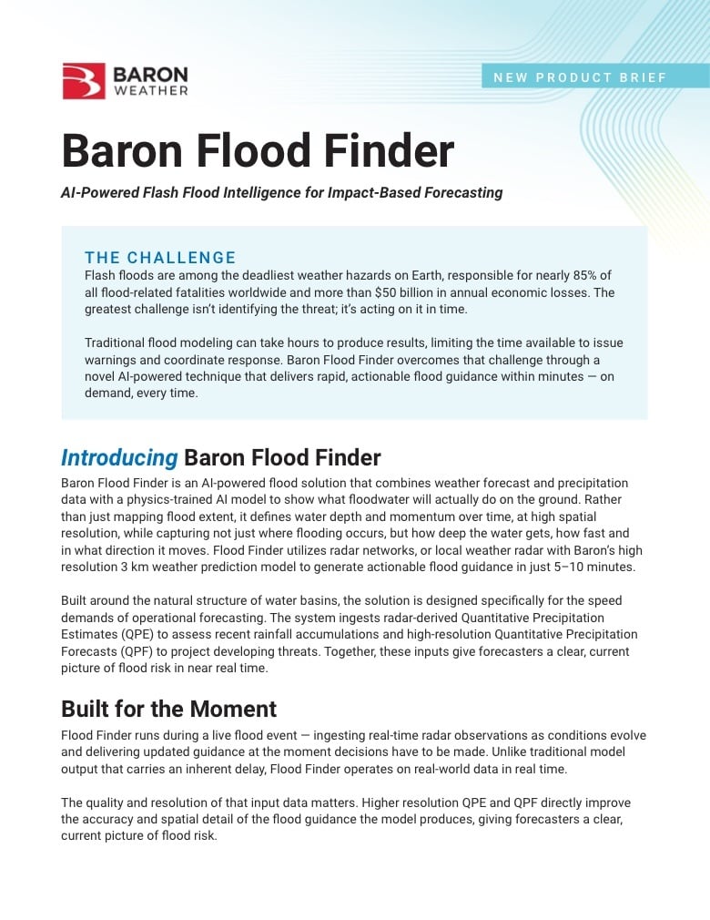
Flash floods are among the world's deadliest natural hazards, and traditional flood modeling can take hours to produce results. Flood Finder delivers actionable guidance in minutes, on demand, while there's still time to warn your communities. Flood Finder combined with your radar, your custom models or as a standalone system delivers more advanced notice.
How it Works
See what
floodwater will do.
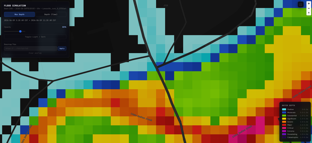
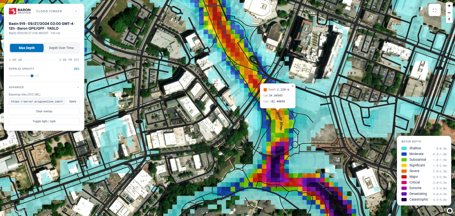
Flood Finder pairs existing or new infrastructure with a physics-trained AI model to go beyond flood extent, at the street and basin level, during a live event. Flood Finder's AI flood model can run on Baron's high-resolution forecasts alone, take in real-time rainfall from your in-country radar, use a custom weather model built for your region, or combine all three. Whatever you already have, Flood Finder fits around it and delivers street-level flash flood guidance in 5 to 10 minutes.
Real-World Flood Verification
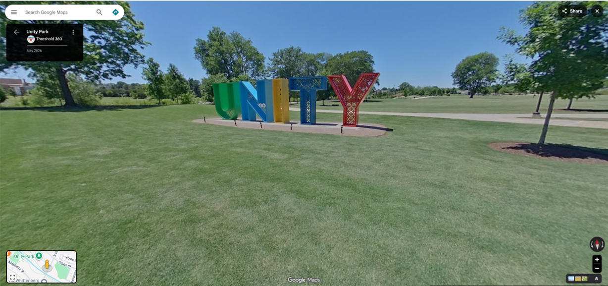
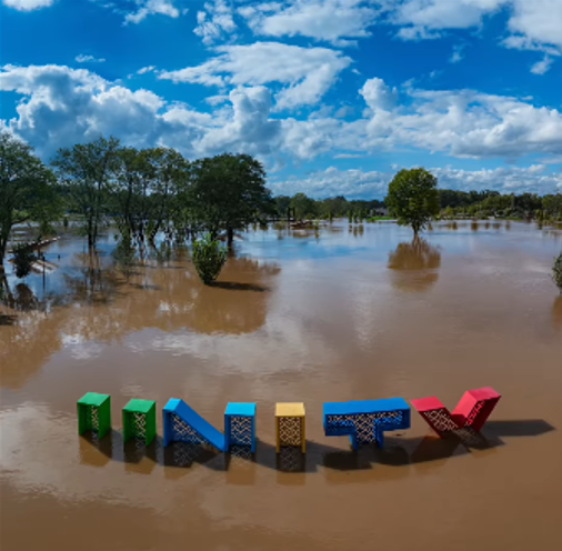
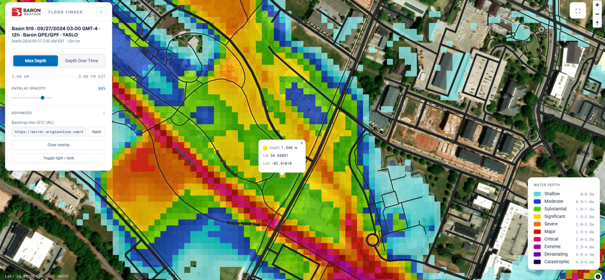
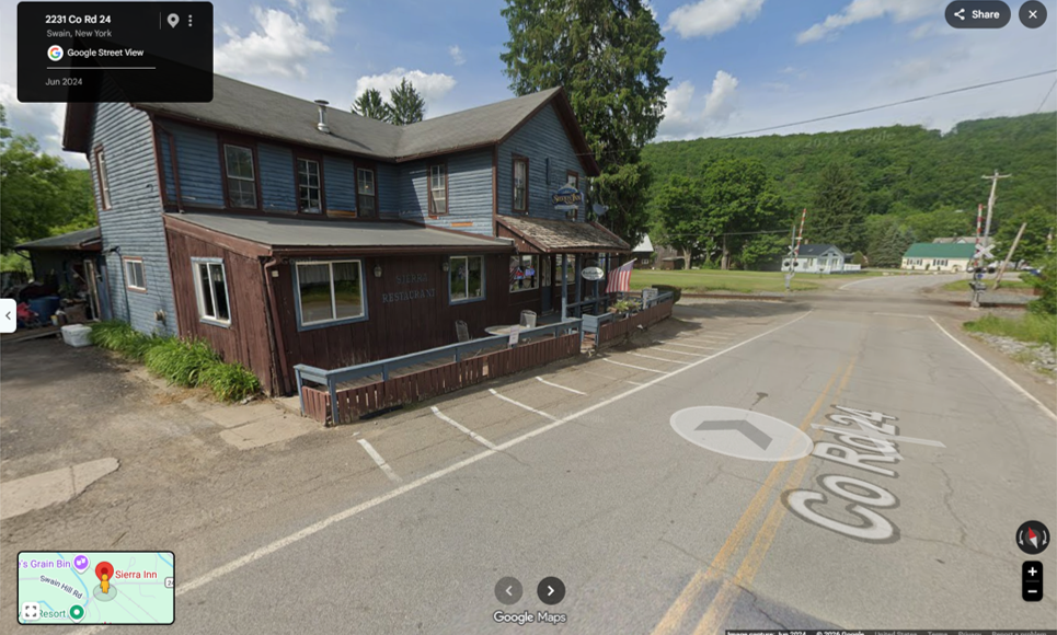
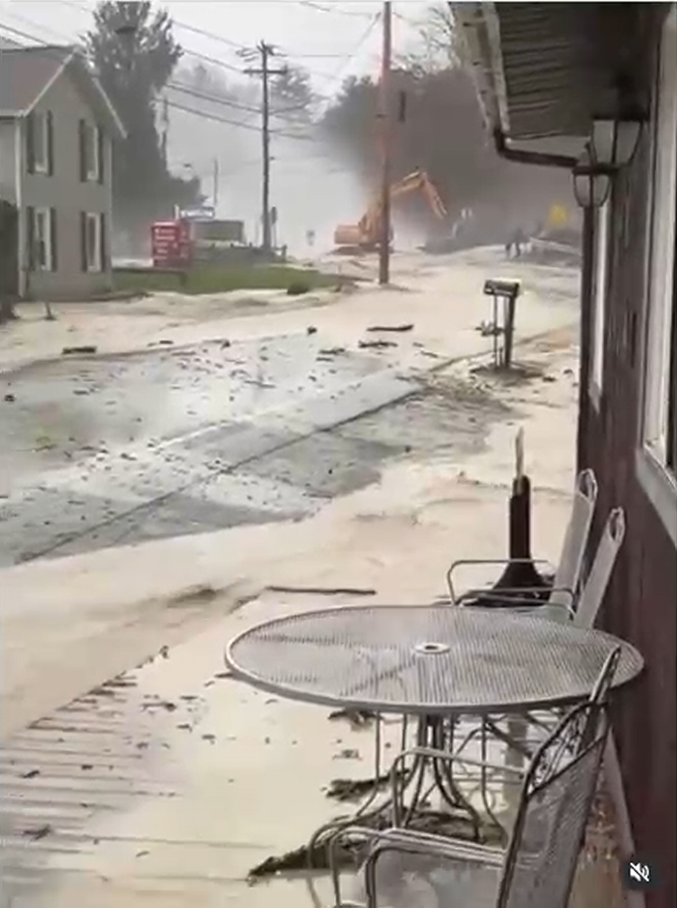
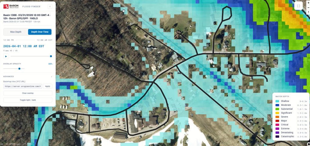
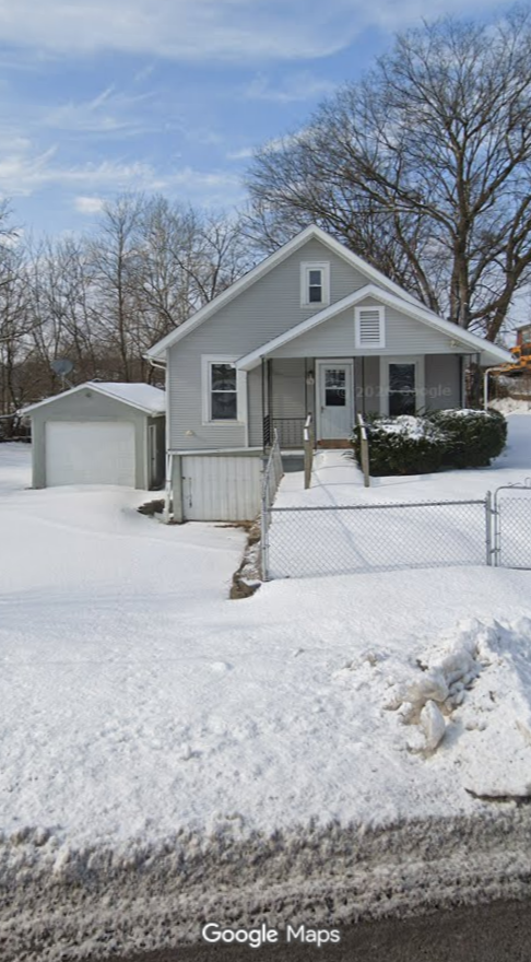
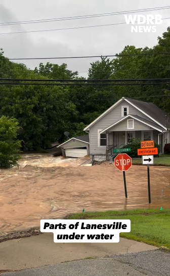
See how Flood Finder’s guidance lines up with real flooding, from the location before the event, to observed flooding, to the model’s own output.
Sharper Guidance
with Baron Radar
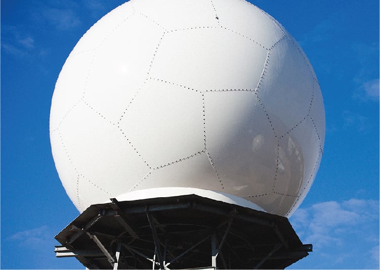
Flood Finder can run on forecast data alone, but pairing it with a Baron radar takes it further. A local Baron C-band or S-band radar, including the new solid-state Baron Fortress, feeds Flood Finder new, location-specific rainfall data every 10 to 15 minutes. Each update gives the model fresh decision points to adjust the flood outlook in near real time. And the closer the radar is to the area you’re protecting, the sharper and more reliable the guidance.
Flood Finder Delivers
Rapid Results
A full model run in just 5 to 10 minutes. Re-run anytime as flood conditions continue to evolve.
Open Outputs
Open formats such as GeoTIFF drop directly into existing GIS platforms and workflows.
High-Resolution
Water depth and momentum as fine as 10 meters, anywhere in the world.
Easy Operation
Select a basin and push a button. No scheduled model cycles or complex process.
All-in-One
Radar, forecasting and modeling from one provider with more than 35 years of expertise.
One provider. One workflow. Worldwide impact.
From the United States to Southeast Asia, flash flooding threatens lives and infrastructure with little warning. Flood Finder gives forecasters and emergency managers the speed, resolution, and confidence to act when it matters most, removing the barriers that have historically kept advanced flood modeling out of reach for all but the best-resourced agencies.

Frequently Asked Questions
How the model works, how it compares, where it runs, and what you need to get started.
What is Flood Finder?
Flood Finder is Baron's AI-powered flash flood intelligence solution. It combines high-resolution weather forecasting with a physics-trained AI model to show what floodwater will actually do on the ground: how deep it gets, how fast it moves and which direction it flows. Results are ready in 5 to 10 minutes, on demand.
What are the model specifics?
Flood Finder runs on radar-derived Quantitative Precipitation Estimates (QPE), high-resolution Quantitative Precipitation Forecasts (QPF) or both. Radar QPE is recommended for the most accurate real-time results. Results are delivered at resolutions as fine as 10 meters worldwide, in open, industry-standard formats such as GeoTIFF for GIS and forecasting workflows.
How does Flood Finder compare to other forecasts?
Flood Finder runs on demand, allowing forecasters to re-run the model as conditions evolve and receive updated guidance throughout the event. Flood Finder can run on Baron's high-resolution weather forecasts, but radar is recommended for the most accurate real-time results. If you already have radar coverage, Flood Finder can use it. If you don't, Baron can deliver the complete package, from radar to forecasting to flood modeling.
Is Flood Finder suitable internationally?
Yes. Flood Finder is designed for international deployment, adapting to regional flood patterns, varied climates, and local hydrological conditions. Organizations operating across multiple countries and continents can count on consistent flood risk monitoring wherever terrain data is available.
What if I don't have a radar or NWP infrastructure in place?
Baron can deliver the complete solution end-to-end, radar, NWP, and the AI flood model, as one seamless system from a single provider. If you already operate your own radar or NWP, Flood Finder's AI layer integrates directly with it. Either way, you get one partner handling the full pipeline from weather observation to actionable flood guidance.
Why Baron?
One provider. One workflow. One complete solution. Baron brings the radar, numerical weather prediction, and flood intelligence agencies need into a single seamless system, so organizations can rely on one partner for faster, more informed operational decisions.