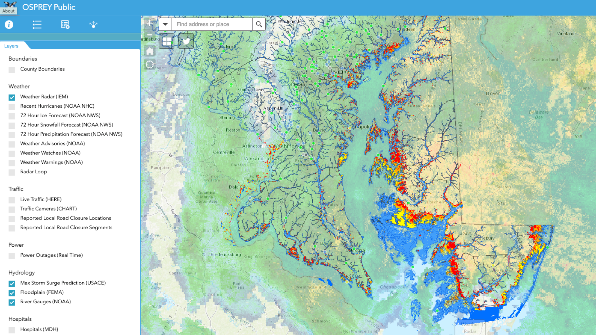
Get Customizable Weather Data Services for Esri's ArcGIS Platform
ArcGIS Services from Baron
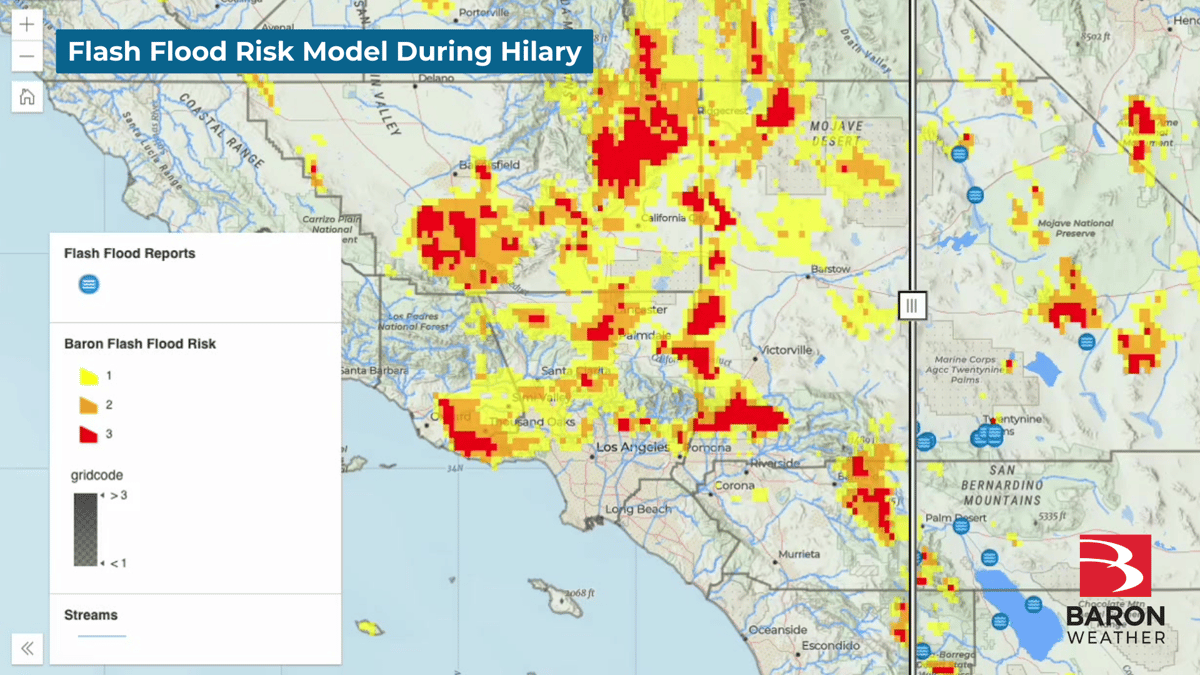
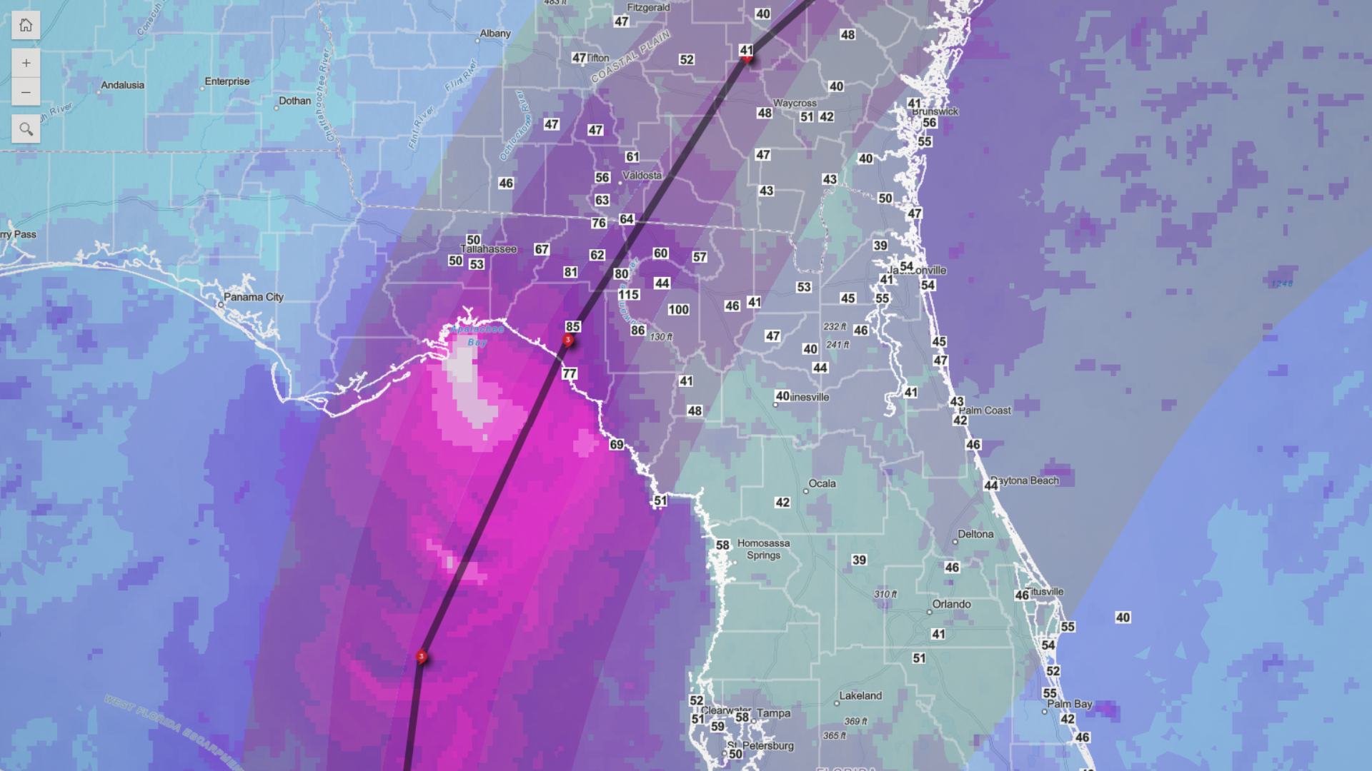
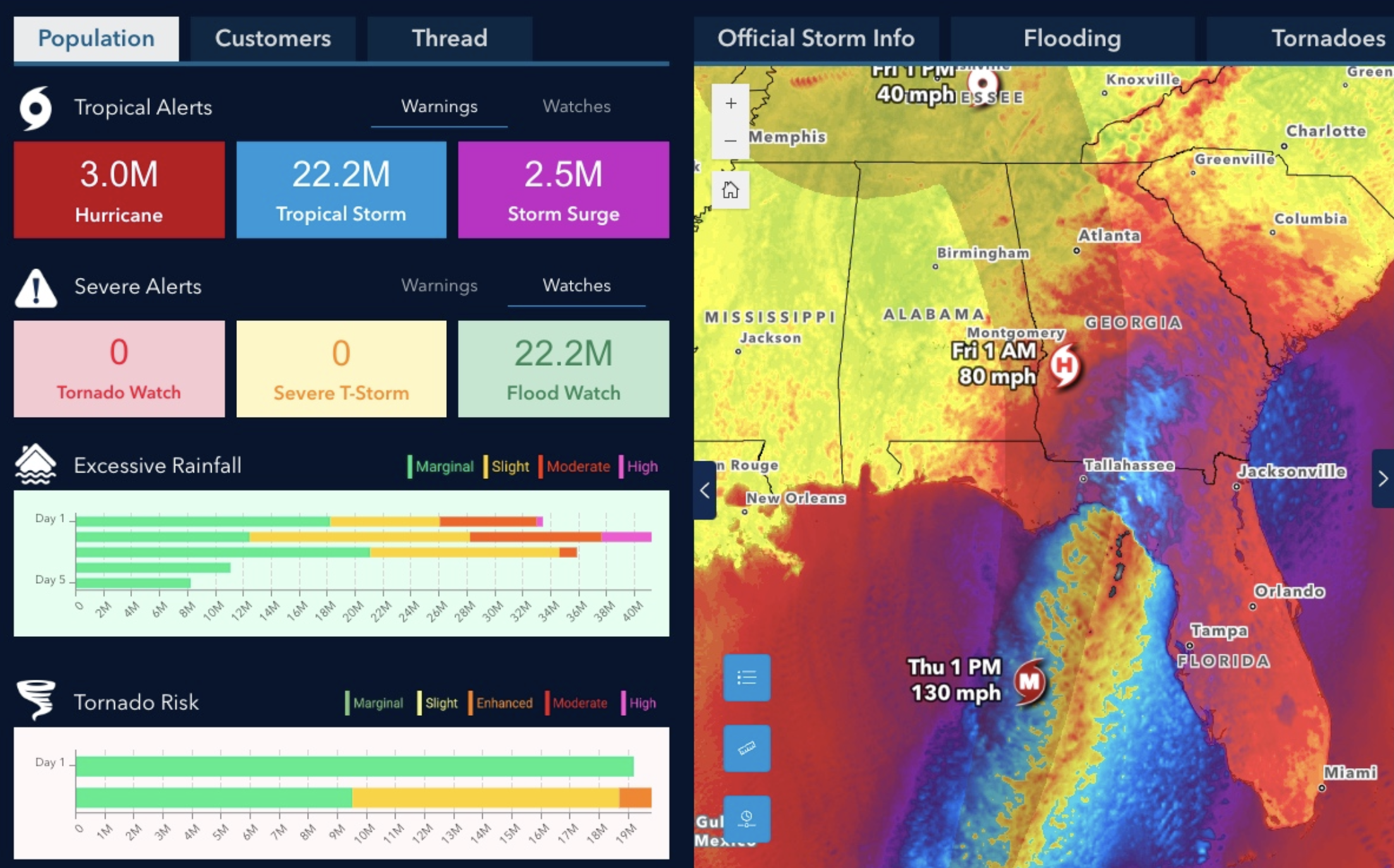
Integrating high-quality Baron weather data into your ArcGIS maps and applications elevates your data analysis. You'll benefit from pinpoint accuracy in weather information, enabling in-depth analysis of how weather impacts your operations and assets.
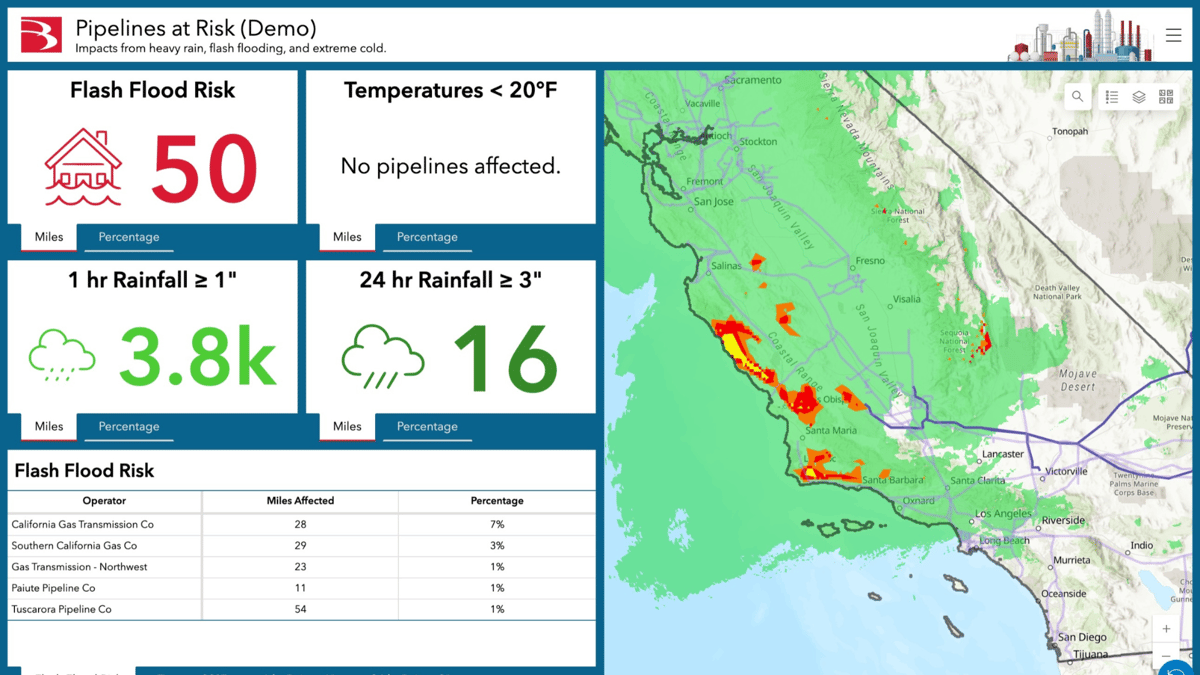
Quickly identify affected assets, properties, and locations, automate real-time notifications, and access an intuitive dashboard for executive-level weather impact summaries.
With Esri's tools and Baron Weather's data, you will gain a competitive edge by mastering the intersection of weather and your business, making informed decisions, and ensuring the safety and efficiency of your operations all within one pane of glass.

Distinct Advantages
Choosing the right weather solution can feel like a daunting task. Baron's ArcGIS Weather Layers are specifically designed to empower organizations that are invested in Esri platforms to make smarter weather decisions.
Baron is proud to be an Esri Partner and to have received the ArcGIS System Ready Specialty.
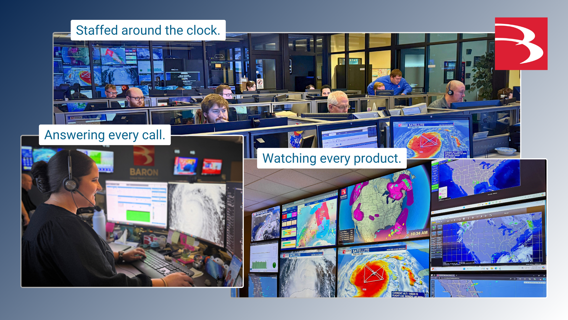
Ensure Safety
Maximize Asset Data
Inform Decisions
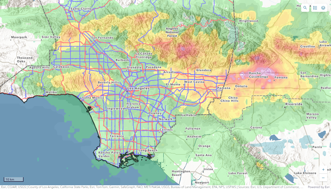
Ensure Operational Safety
Enable comprehensive analysis and real-time notifications with data to master weather-related challenges and enhance the safety and efficiency of your operations.
Ensure Operational Safety
Enable comprehensive analysis and real-time notifications with data to master weather-related challenges and enhance the safety and efficiency of your operations.
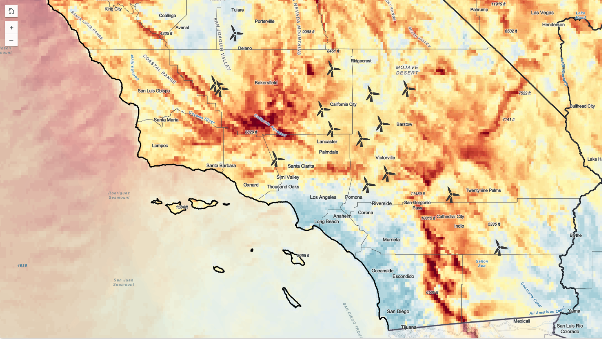
Maximize GIS Location and Asset Data
Leveraging the geographic locations of assets and data can provide valuable insights that can help guide mission-critical decisions. By analyzing location-based data, organizations can better understand their operations, identify areas for improvement, and make informed decisions about resource allocation and risk management.
Make Data-Driven Decisions
Harnessing the power of data can be a game-changer when making important business decisions. By analyzing key data values at the crossroads of weather and your business assets, you can uncover valuable insights to help you make informed decisions.
Make Data-Driven Decisions
Harnessing the power of data can be a game-changer when making important business decisions. By analyzing key data values at the crossroads of weather and your business assets, you can uncover valuable insights to help you make informed decisions.

Why Pay for a Weather Solution?
Baron surpasses free sources.
Testing filtering based on: products = ArcGIS Weather Layers (1)
Michael Darr
Assistant General Manager of Engineering Services
National Fuel

David Payne
Chief Meteorologist
KWTV

Peter Sockett
Director of Engineering and Operations
WRAL

Bryan Busby
Chief Meteorologist
KMBC

Andy Matthews
Co-Founder and Director
iFlightPlanner
Michael Darr
Assistant General Manager of Engineering Services
National Fuel

Sam Bernabe
President/GM
Iowa Cubs


Latest Stories from the Baron Blog
