Snow and ice can bring your business operations to a halt. And it doesn't even take a large amount to disrupt travel or become a huge safety hazard.
The impacts of winter weather are not always directly related to the storm's size or strength. Even the smallest amounts of ice or snow at the wrong time can be a nightmare.
Smarter data and timely alerting can help your team avoid or mitigate the impact on operations brought on by complex winter weather events.
Here are a few simple tips to remember the next time snow or ice is in the forecast.
Avoid Costly Premature Decisions
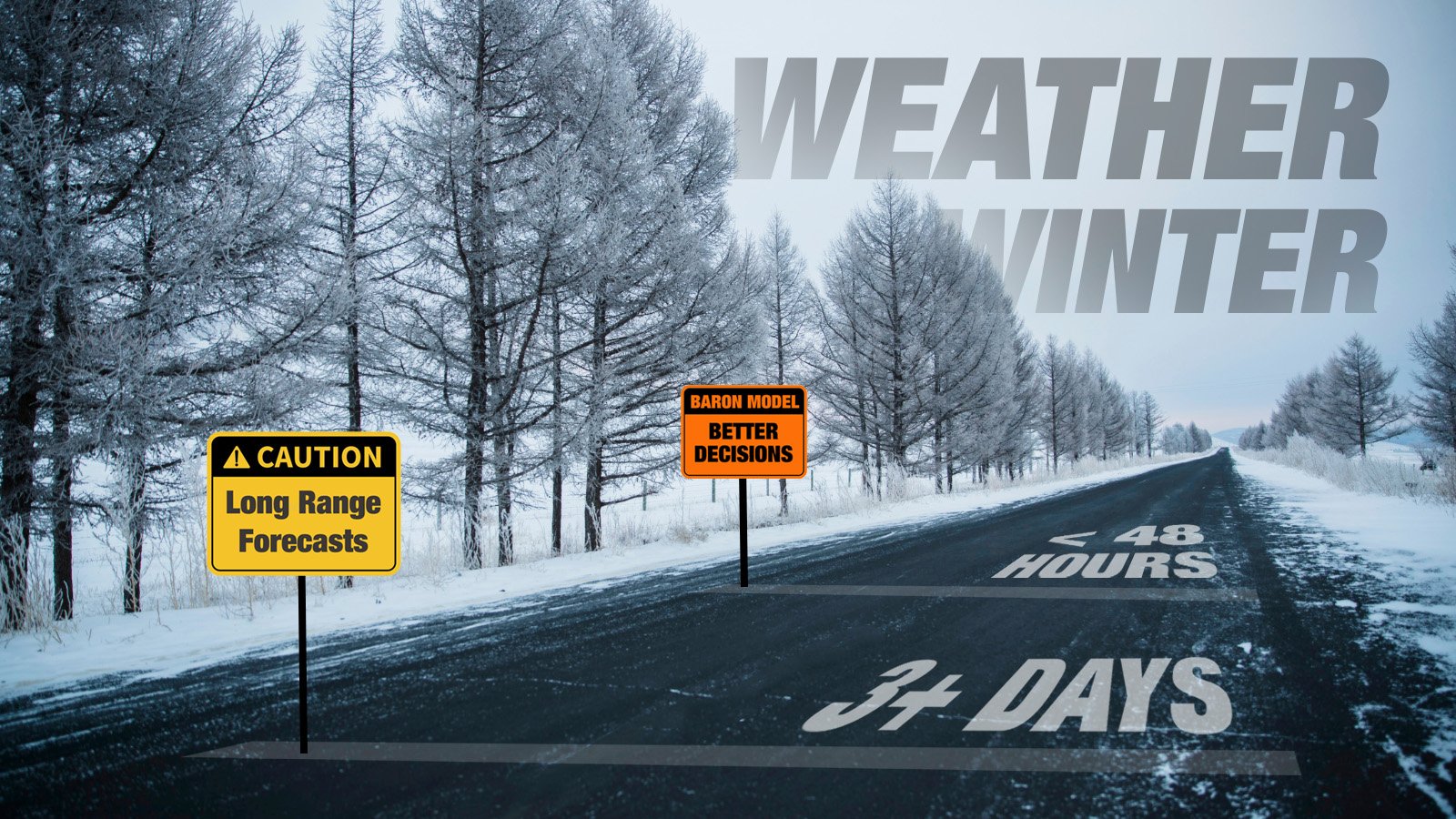
Subtle changes in a storm's track can result in significant differences in projected impacts. And you don't want to waste emotional energy on a decision that can be costly if made too soon. Forecast models are a great tool several days before a storm, but there are some usage limitations.
We all love a high-resolution forecast. Especially one that can accurately predict the exact amount of snow on our street. Baron has a proven model that can do just that. However, knowing when to use it is the key.
Given the finicky nature of winter weather, pinpoint accuracy on precipitation type and amounts are best reserved for 48 to 72 hours in advance. Longer-range global models are certainly credible for identifying potential trouble spots several days in advance. Preparation for an event can undoubtedly begin more than 48 hours in advance, but the detailed decisions are best left to expert analysis of models on a shorter time scale and at higher resolutions.
Use Smarter Data for Difficult Decisions
Three types of frozen precipitation can fall during a winter storm: sleet, freezing rain, and snow. Each one presents a different type of hazard to plan around. Knowing which one will fall first, if or when it might transition to another, and how much of each type is expected are all critical answers that require smarter data.
The most difficult decision is where and when to make the call that air travel or ground transportation becomes unsafe for operations. A similar decision is also necessary when considering employees if they commute to work.
Forecast maps during winter storms can be full of color and complicated to interpret for a specific location or route. Isolating the individual precipitation types on one map can help, especially if you need to look at a region or multiple locations at once.

An alternative way to look at the same data is in a meteogram, which is just a fancy name for a graph of weather parameters over time. This is especially useful for assessing the various risks at one location for the duration of the storm.
The heaviest winter precipitation often falls in narrow bands, so even a slight shift in the storm's track can result in big differences in snow or ice totals. One cannot simply anchor to one run of even the best forecast model. Vigilance is key to catching those subtle shifts as the event begins to unfold.
Keep Up with Changeable Road Conditions
Frozen precipitation falling out of the sky isn't all you have to consider when planning around impacts on transportation. High winds, frigid temperatures, and pre-existing roadway conditions must all be factored into your response plan.
High winds, for example, can cause snow drifts several feet higher than the projected accumulations. Frigid temperatures during or immediately following the event can make it difficult for road crews or plane deicers to be effective. Conversely, a snow or ice event may be very navigable in some areas if road surface temperatures are expected to stay above freezing.
Baron scientists have created a dataset that shows current and projected winter road conditions in simple-to-understand levels: wet, icy, snowy, and heavy snow. The interactive map below allows you to view the data in real time.
The Baron Road Conditions dataset also uses current and projected soil temperatures to provide clarity on whether winter precipitation will impact road surfaces and how long they may remain icy or snowy following an event.
Consider More than Just the Science
Preparing and responding to the human impact of winter weather requires more than just a scientific forecast. It's important to consider pre-existing conditions such as typical traffic volume, whether the event will occur around a holiday, or if the geographical region targeted is accustomed to winter weather.
For example, an inch of snow in a southern state such as Louisiana or Mississippi could be more challenging to traverse than if it fell in Michigan due to a lack of resources or inexperience on the roadways. Another example is frozen precipitation falling late at night on a weekend, which may accumulate on roads faster due to less traffic (tire friction) than if it fell during a busy weekday afternoon.
Therefore, hiring an expert meteorologist to supplement your model interpretations is a good idea. Choose someone with experience in the cultural and geographical influences of winter weather across your region to supplement the data and modeling.
No two winter storms are alike. While there are similarities in how you might prepare for one, every storm's path and strength are unique and require strategic thought and flexibility. The timing of your decisions can be just as important as the planning itself.
We hope these tips can improve the efficacy of your response by giving you confidence in when to make those difficult decisions. We've given you several brief examples of how Baron technology could benefit your organization. Let us know if you want to talk to an expert and discuss how our superior weather data can help you make better winter weather decisions.