Baron Weather Inc. today announced an expansion of its longstanding partnership with Esri, the global leader in geographic information system (GIS) software, enabling Esri customers to purchase Baron Weather's suite of premium weather data products directly through Esri.
Under the agreement, Esri customers can now access more than 25 Baron Weather data products with both domestic and global coverage. The portfolio spans real-time radar, satellite imagery, severe storm intelligence, road conditions, and tropical tracking, and extends to groundbreaking global products, including Baron Rapid Analysis and the Extreme Weather Index. All are available without leaving their existing Esri purchasing relationship, eliminating the need for a separate vendor relationship.
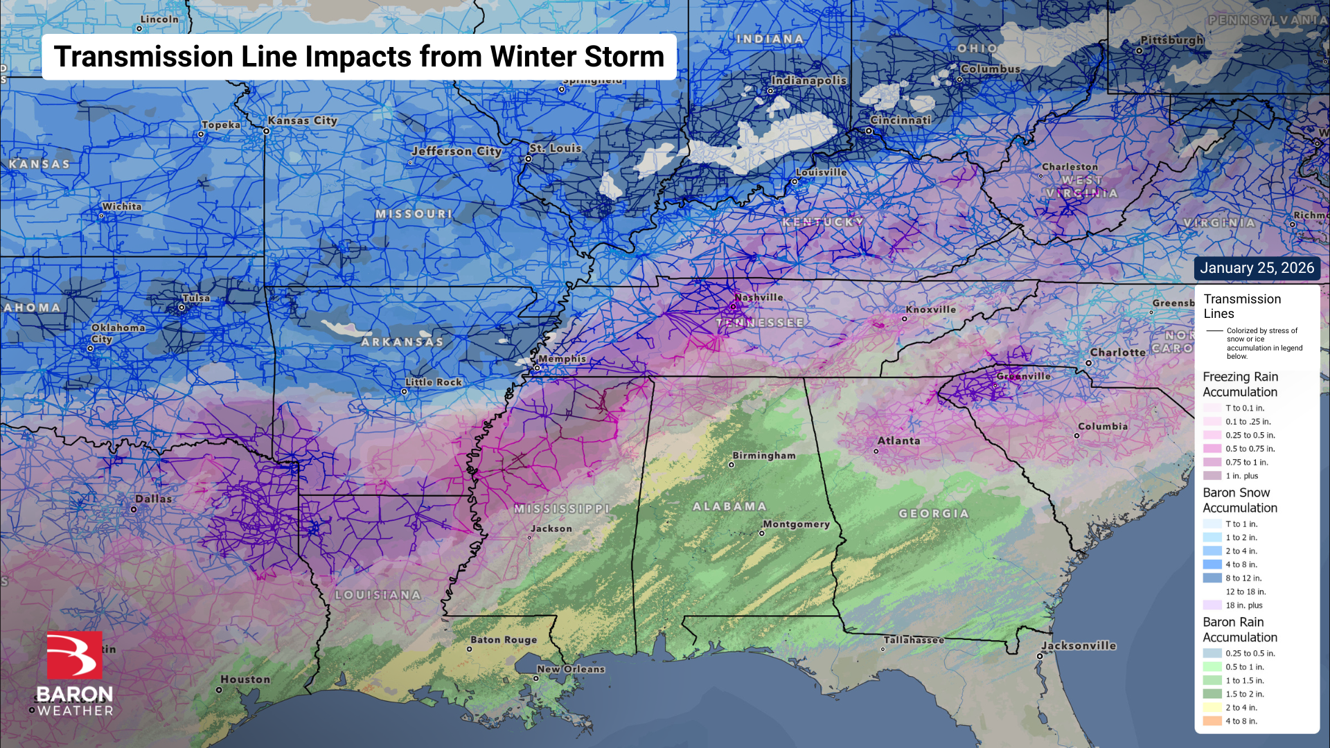
"This partnership removes friction for the thousands of organizations that rely on Esri's ArcGIS platform every day," said Marc Krasner, Vice President of Enterprise Sales at Baron Weather. "Whether it's a utility managing storm response, a state agency monitoring tornado risk, or a commercial enterprise tracking severe weather, our data is now one step closer to the people who need it most."
"Integrating Baron Weather's real-time data into the Esri ecosystem gives our customers a powerful new layer of situational awareness directly within their GIS workflows," said Richard Cooke, Corporate Director, Global Business Development, Esri. "Weather forecasts combined with real-time observations are among the most consequential inputs to operational decision-making, and this expanded relationship ensures our users have access to industry-leading data when and where they need it."
Baron Weather's data products are available to organizations across the utility, commercial, state and local government, and natural resources sectors throughout the United States and U.S. territories. Products are delivered as map or feature services and are updated continuously, in some cases as frequently as every two minutes, ensuring decision-makers have the most current conditions available within their GIS environment.
Full product details are available at esri.baronweather.com.